
Property Information Report
City of Kamloops
7 Victoria St W
Kamloops, BC V2C 1A2
(250) 828-3347
gisinfo@kamloops.ca

946 IDA LANE |
Property Information Portal |
City of Kamloops
7 Victoria St W
Kamloops, BC V2C 1A2
(250) 828-3347
gisinfo@kamloops.ca
946 IDA LANE |
Property Information Portal |
 |
| Legal Description: | Approx Elev: 402 m |
| Lot Size(approx.) - Sq. m: 73762.41 | Sq. feet: 793978.56 | Acre: 18.23 Ha: 7.38 |
| District Lot: NONE | Garbage Collection Zone: ZONE 1 | School Catchment Info: |
| Neighbourhood: WESTSYDE | Nearest Bus Stop (direct distance): 181.0 m |
SD73 School Locator |
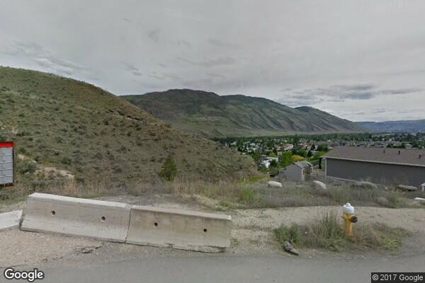
| Heritage Property: N\A | Nearest Hydrant (direct distance): 29.0 m |
Tax Exempt Property: No |
| Nearby Facilities: LAUNCH MAP | Population Estimate: 0.0 | EnerGuide Label: N\A |
| Zoning: OS | Development Permit Area: N\A |
| Site Specific Zoning: N\A | Silt Bluff Development Permit Area: N\A |
| Business Improvement Area: N\A | Aberdeen Slope Hazard Development Permit Area: N\A |
| 200 Year Floodplain Coverage: None | Riparian Area (Intersect): No |
| 20 Year Floodplain Coverage: None | Agriculture Land Reserve Coverage: None |
| Water District: CITY OF KAMLOOPS | Land Use Classification: PARKS AND OPEN SPACE |
| Registered Residential Suite: NO | Neighbourhood Plan (Intersect): Westsyde Neighbourhood Plan |
| Folio: | Development Application No: | Development Application Type: |
|---|
| Folio: | Development Permit No: | Development Permit Purpose: | Application Date: | Issued Date: |
|---|
| Business Name: | Description: | Category Code: |
|---|
| Unit: | Folio: | PID: | Year: | Land: | Land Exempt: |
Improvement: | Improvement Exempt: |
Total: | Class: |
|---|---|---|---|---|---|---|---|---|---|